A line of July wildfires smoldered in the boreal forests in a northwards line from the Boundary Waters up deep into Ontario. The morning I headed to Jay Cooke State Park, the sun was a perfect traffic cone-colored orb in a yellowish sky. Bits of ash fluttered from the air, the remnants of burned forests somewhere far to the north.
At Jay Cooke State Park just outside of Duluth, Minnesota, the St. Louis River was obscured by a blue haze that hung over the rapids. Not one to let air quality warnings ruin a good morning of exploring, I parked the truck near the River Inn and crossed the swinging bridge over to the start of the Carlton Trail.
Carlton Trail Quick Stats
Distance: 5.4 miles roundtrip (out-and-back)
Difficulty: Moderate. Lots of mud sections and one small rocky scramble.
Kid-friendly? Older kids will enjoy the rocky scrambles and river views, but this trail would be tough on younger kids.
Highlights: Swinging bridge over the St. Louis River. Views of the river the whole length of the trail. Exposed rocky outcrops that give an amazing vantage of the rapids.
Fees? Yes; $7 daily vehicle pass for Minnesota state parks, or an annual Minnesota State Parks Pass for $35.
Park Hours: Jay Cooke State Park is open daily from 8:00 am to 10:00 pm.
Carlton Trail Access and Trailhead
Parking for the Carlton Trail is located by the River Inn at Jay Cooke State Park. There is a visitor center here that is open from 10 am to 9 pm in the summer. Additionally, the trailhead has also an outhouse and indoor bathrooms inside the River Inn. The trail starts at a large parking lot along the St. Louis River. From there, you will cross the Swinging Bridge across the river to access the hiking trails.
Click here for Google Maps directions to the trailhead.
Hiking the Carlton Trail
Swinging Bridge and the St. Louis River
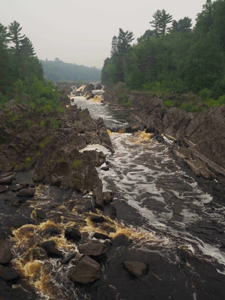
Directly after leaving the parking lot, cross the swinging bridge over the St. Louis River. The Civilian Conservation Corps originally built the bridge in 1934. Today, it spans 220 feet over the river gorge. The swinging bridge is a must-see, with views of the rapids of the river down below as it is split by huge rocks.
The St. Louis River is the largest tributary river to flow into Lake Superior. It drains a 3600-square mile watershed in northeast Minnesota, and becomes North America’s largest freshwater estuary where it meets Lake Superior near Duluth. Jay Cooke State Park is the modern day site of what used to be an important canoe portage for travelers in the 1700 and 1800s.
Rocks and Swampy Spots on the Carlton Trail
After crossing the river, there is a whole network of trails to access! There are over 50 miles of hiking trails in Jay Cooke State Park, and the Carlton Trail is just one of them. To stay on the Carlton Trail, keep to the right to be along the river.
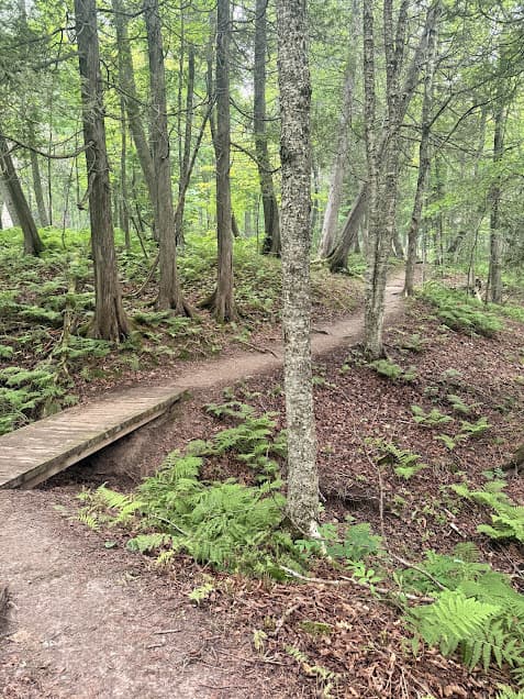
The Carlton trail follows the south side of the St. Louis River from the swinging bridge all the way up to a small bridge over Otter Creek, where the trail meets the Munger State Trail. The first mile and a half of trail along the river has a lot of variation in terrain. Swampy, muddy low spots are interlaced with narrow, rocky edges as the trail traces the riverbank. On the day I hiked the Carlton trail, the park staff had been doing an excellent job of knocking down vegetation right along the trail.
Carlton Trail High Point and Bridge Views
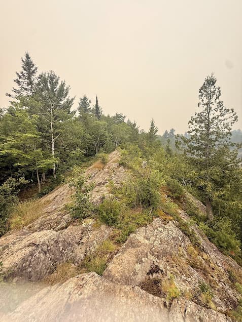
Around the 1.8-mile mark, the trail descends into a steep, rocky spine, which is the trickiest part of the trail if hiking with kids or dogs.
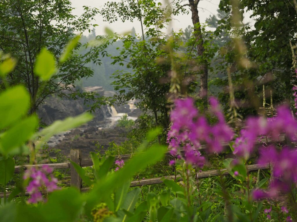
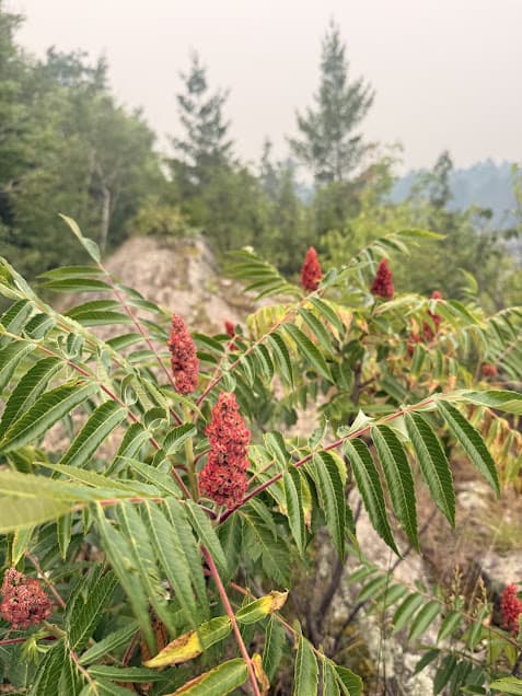
The highlight of the trail for me was the high point on the trail, where a rock outcropping bearing red sumac shrubs, Canadian serviceberry, and wild blueberries provides a perfect vantage of the river. You’ll be able to see the iron bridge which carries the Munger Trail across it upstream. Mid- to late-July is a great time for ripe wild blueberries.
Crossing Otter Creek and Return to Trailhead
When the Carlton Trail reaches Otter Creek, it terminates at the Munger State Trail. This is one of the longest continuously paved trails in the US (70 miles!). To head back to the trailhead, you can turn the hike into an out-and-back, or follow the Munger Trail back east toward the River Inn. This option is worth it just to see the views from the bridge over the St. Louis River on the Munger trail.
Trail Running the Carlton Trail
The Carlton Trail makes up part of the course for the Minnesota Voyageur 50-mile race, which is held each year at the end of July. The Voyageur 50 is one of the oldest trail ultramarathons in the country! The rugged course from Carlton to Duluth and back goes through Jay Cooke State Park for part of the race.
Whether you choose to run it or take a slower pace, the Carlton Trail is a great hiking spot near Duluth. I’m hoping to get back to Jay Cooke State Park to explore some of the other trails in the area! In the meantime, there are lots of options for extending your hike from the Carlton Trail.
More Great Lakes Region Hiking Nearby
Copper Falls State Park, Wisconsin
Meyers Beach Sea Caves, Apostle Islands, Wisconsin
Black River Waterfalls, Michigan