Driving anywhere in the western U.P. in the summer, cars with colorful canoes strapped to the roof are a common sight on the road. While the Sylvania Wilderness on the Michigan-Wisconsin border is best known as a “mini-Boundary Waters” for its 34 named lakes and canoe trip opportunities, it also offers a great wilderness backpacking experience for those who prefer walking to floating.
The trick to a successful backpacking trip in Sylvania is careful planning when choosing routes and campsites. Not all campsites are accessible by foot (without some serious bushwacking).
The Quick & Dirty:
- Only some of the 50 campsites are walk-in. Check to make sure you aren’t reserving a water-access campsite.
- A backcountry campsite reservation is required from May 15-September 30.
- Reservations are first-come, first-serve the rest of the year.
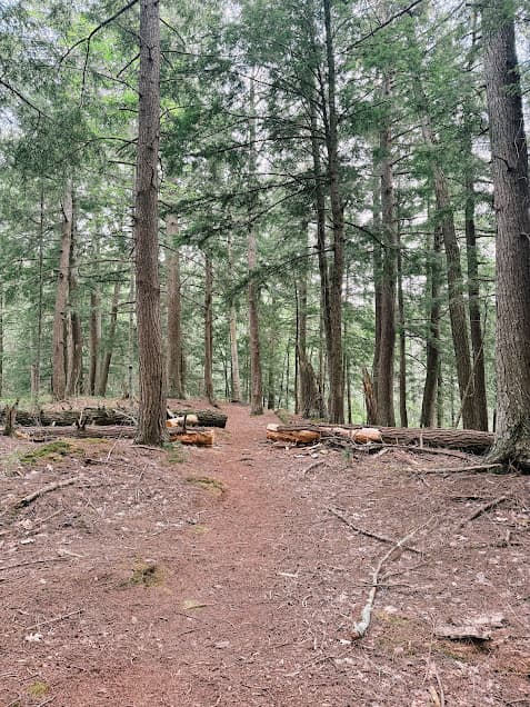
- There are 25 miles of hiking trails within Sylvania, so there are a lot of possibilities for route-planning.
- Pick up your backcountry camping permit from the entrance station once you arrive.
- The closest town in Land O’ Lakes, Wisconsin (to the south) or Watersmeet, Michigan. Both are small but offer firewood, gas stations, and small grocery stores and restaurants.
Michigan’s Sylvania Wilderness Area
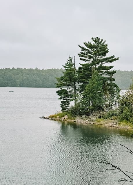
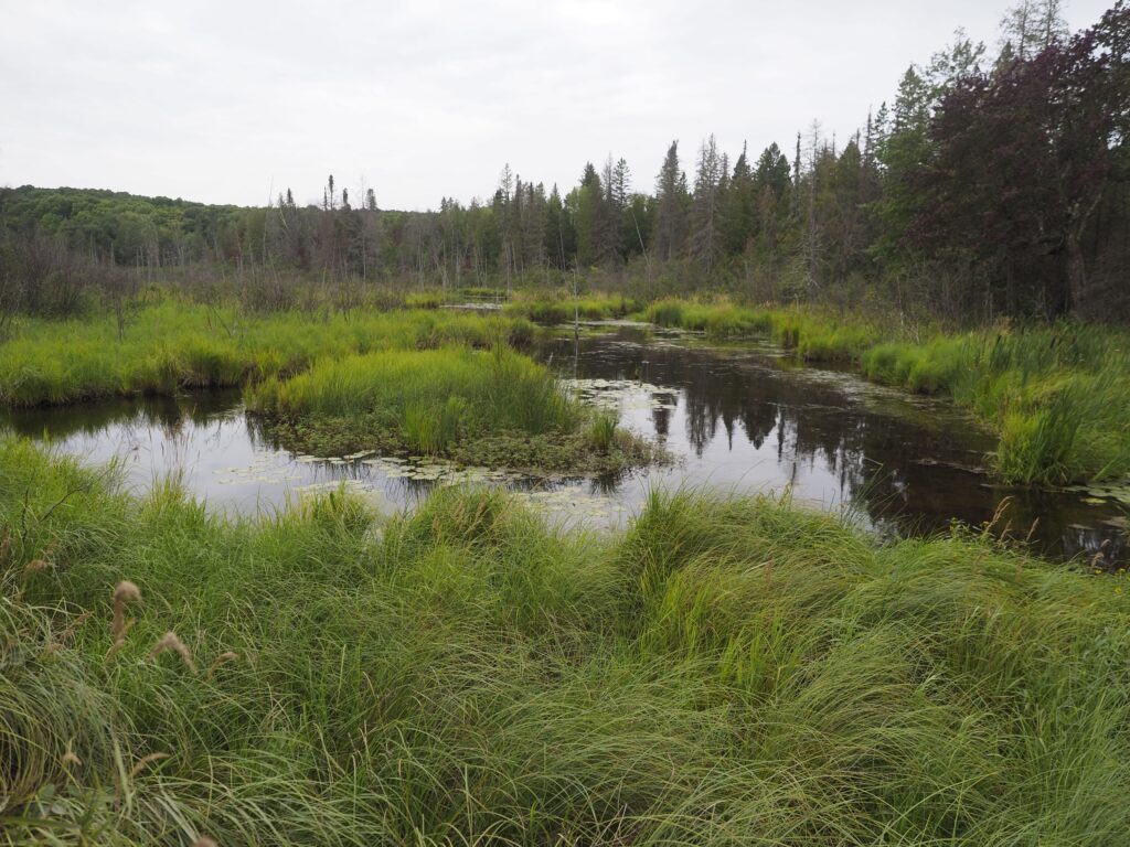
The Sylvania wilderness is part of Ottawa National Forest in Michigan’s Upper Peninsula. The region where it lies along the Wisconsin border is flecked by hundreds of small lakes in both states. Many of them are popular fishing destinations with traditional vehicle access. The wilderness regulations that apply to Sylvania make it stand out as a place that requires human-powered transportation to get around, whether that is via canoe or hiking boots.
Sylvania Wilderness Area has more than thirty lakes of various sizes. Eighteen of the lakes are accessible via canoe portage. The biggest lake, Clark Lake, is accessible by vehicle and is the most common jumping-off point for Sylvania visitors. The north end of Clark Lake has a canoe/kayak launch, as well as access to the hiking trails that trace the edge of the lake further south into the wilderness area.
Trip Planning and Trailheads
Choosing campsites
The 50 campsites at Sylvania must be reserved ahead of time (May 15-September 1) on recreation.gov. From October 1 to May 14, campsites are first come, first serve! The website shows photos and details about each campsite for trip planning purposes. If you are planning a backpacking trip without a canoe, look at the map carefully before choosing campsites because some of the sites are only accessible from the water.
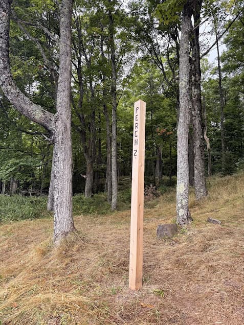
Most of the campsites in Sylvania are paired (Ermine-1 and Ermine-2, for example). Most of them are still far enough away from one another that privacy isn’t compromised.
Trailheads and Access
Sylvania Wilderness Area has six trailheads:
Whitefish Trailhead*
Clark Lake – Click here for directions
Thompson Lodge Trailhead
East Bear Lake Trailhead
Devil’s Head Trailhead*
South Gate Trailhead
*Be aware that Whitefish Trailhead only gives access to Whitefish Lake, and Devil’s Head TH only gives access to Devil’s Head Lake. They do not link up to other trails in the wilderness area.
There are around 25 miles of total hiking trail throughout the Sylvania Wilderness. Most of the trails do connect to one another, particularly via a hub of trails at the southeast corner of Clark Lake. To plan a multi-night backpacking route, distinguish which campsites are accessible to hikers vs. water access only. Then, check recreation.gov to see which ones are available for the intended dates of the trip.
For a full guide on how to self-plan a backpacking route, click here.
Sylvania Wilderness Area Regulations
In addition to reserving a backcountry campsite on recreation.gov, visitors intending to camp in Sylvania need to visit the entrance station on Thousand Island Road and fill out a permit to keep on hand. You are also required to watch a short video about the regulations specific to Sylvania.
Click here for directions to the Entrance Station.
For a complete list of current rules pertaining to Sylvania Wilderness Area, check the Ottawa National Forest webpage here: Ottawa National Forest | Sylvania Wilderness Backcountry Camping | Forest Service
Campsite Details
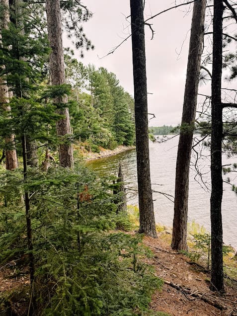
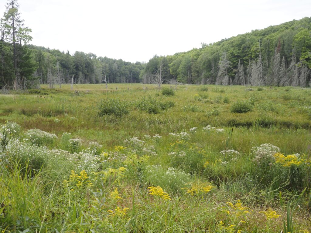
Most of Sylvania’s campsites are located close to one of the many lakes in the area. Each campsite is limited to 6 people total. The campsites are well-established, and each has a fire ring as well as a small latrine nearby. Dead and downed wood can be collected on-site to burn, although many people accessing the sites by canoe get firewood nearby in Watersmeet. Dogs are welcome on Sylvania’s trails as long as they are kept on a leash.
Wildlife and Insects at Sylvania
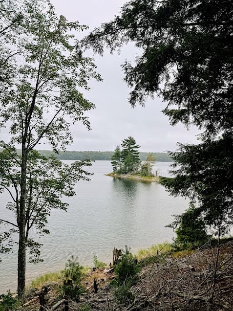
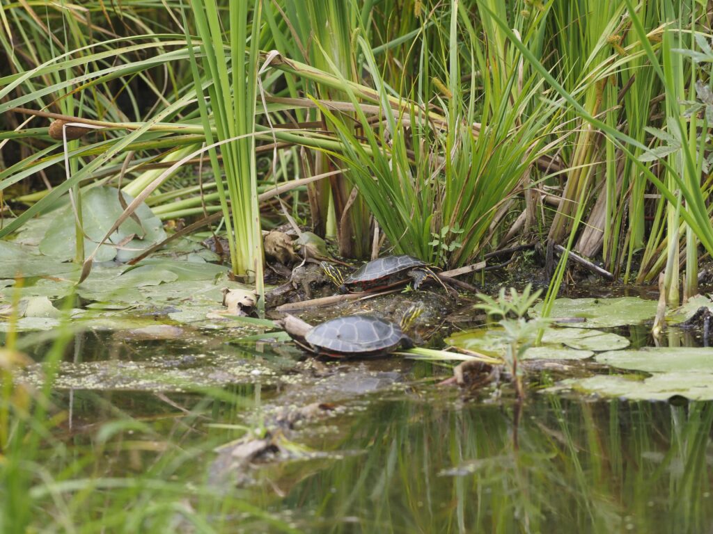
Sylvania is known for its old-growth forests and numerous lakes, as well as some riparian habitat that flourishes along the small streams connecting some of the lakes. Loons nest on the islands on some of the lakes during the early summer. The experience of camping next to the water is often enhanced by the late-night calls of the loons. Other common birds in Sylvania include waterfowl such as common mergansers and raptors like bald eagles and red-shouldered hawks.
Sylvania is home to most of the mammal species that live in the U.P., including black bears, gray wolves, fisher, otter, white-tailed deer, red fox, and even the occasional moose. Use wildlife-friendly food storage methods when camping such as a bear canister or hanging your food to keep wildlife from becoming habituated.
The lakes in Sylvania have some great fishing opportunities, and offer a challenge due to their special wilderness regulations. Bass, northern pike, walleye and lake trout can be fished for from the bank or from a non-motorized watercraft, using barbless hooks and artificial bait. For complete fishing regulations, see this PDF: Sylvania Wilderness – Fishing Regulations.
Like the rest of the Upper Peninsula, insects can be a problem in May and June, but seem to die down somewhat for the rest of the year. Insect repellent or bug nets will help when you come across the inevitable pockets of mosquitoes.
Navigating in Sylvania
You can find decent cell phone reception throughout the wilderness area, depending on your specific location. OnX Maps shows all of the trails within Sylvania as well as the named backcountry campsites. Paper maps of Sylvania Wilderness Area are available at the Entrance Station.
More Upper Peninsula and Lake Superior Hikes
Backpacking Grand Island, Michigan (Lake Superior)
Black River Waterfalls, Ironwood, Michigan
Big Carp River Trail, Porcupine Mountains State Park (UP)
Little Carp River Trail, Porcupine Mountains State Park (UP)
Escarpment Trail, Porcupine Mountains State Park (UP)