The forecast for the Big Carp River area of the Porcupine Mountains, which curve gently along Lake Superior’s south shore in the Upper Peninsula of Michigan, showed a pretty balmy day save for a chance of storms around 11 AM. Rain pelted my truck at the Little Carp River trailhead parking lot, but I had a 26-mile trail run planned and couldn’t let it delay my start. I started off down the trail and the rain melted off into a muggy but mostly-clear June afternoon.
After covering Lily Pond, Summit Peak, Mirror Lake and the Correction Line Trail, I made it to the midpoint of the Big Carp River Trail. The trail was a mostly downhill journey along the river and past waterfalls and swimming holes to its endpoint at Lake Superior.
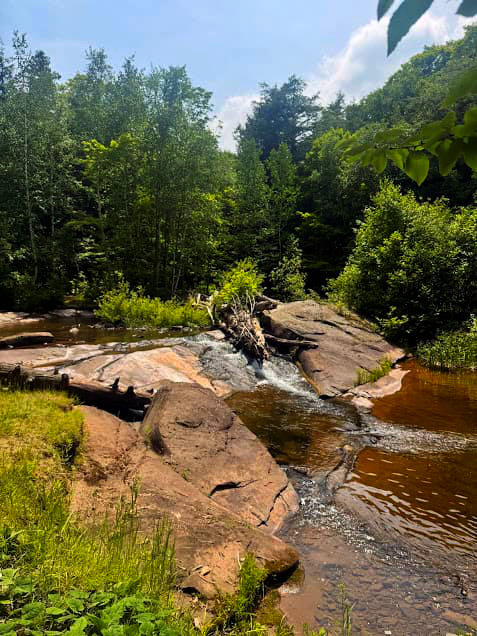
Fourteen miles into this trail run and sweating through my vest, I was looking forward to cooling off in the lake’s frigid waters. To my dismay, the mouth of the Carp River was loaded with swarms of biting stable flies that immediately saw my ankles as a flashing Golden Corral sign and whipped out their knives and forks. Fortunately, the flies were absent further up the river and I was able to take a dip in the river with only tadpoles and minnows for company.
For a long hike with a little bit of everything the Porkies has to offer, the Big Carp River trail is a great option for an all-day adventure with lots of opportunities to cool off.
Big Carp River Trail Quick Stats!
Distance: 16.3 miles out-and-back
Vertical Gain: 1,400 feet
Difficulty: Moderate
Time required: All day if you plan on swimming or spending time at Lake Superior
Dog-friendly? Yes
Kid-friendly? Kids would love the swimming holes and lake access if they are old enough to handle the 16-mile distance. If you incorporate a backcountry campsite, this would be a great one for kids.
Highlights: Shining Cloud Falls, Lake Superior access, old hemlock forest
Big Carp River Trailhead
The only way to access the Big Carp River trail by vehicle is to start at the Lake of the Clouds overlook site. There is ample parking here, plus the bonus of being able to check out the beautiful Lake of the Clouds and Escarpment Trail from the overlook!
Click here for Google Maps directions to the trailhead.
Hiking the Big Carp River Trail
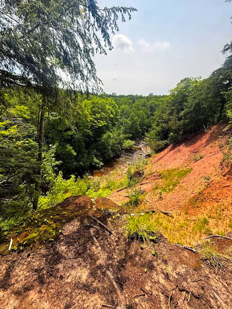
From the trailhead at the Lake of the Clouds overlook, the Big Carp River trail meanders downhill with gorgeous views of the Carp River bottom where it flows out of Lake of the Clouds. As the trail enters the woods, the tree composition shifts into a calming, green-soaked canopy of older hemlocks. There are several warbler species that frequent this habitat, so keep an ear out for them, especially American Redstarts in May and June.
On the day I hiked this trail, there were quite a few downed trees in this section but they were all easy to maneuver around. Although it’s difficult to see them through the trees, the trail traverses below two of the high points in this section of the park: Miscowawbic Peak (1,401 ft) and Lafayette Peak (1,322 ft).
Junction of Big Carp River Trail and Correction Line Trail
At the 4.3 mile mark, there is an Adirondack Shelter site along the Carp River, which marks the junction of the first part of the Big Carp River Trail with the Correction Line Trail. If you head left (east) on the Correction Line trail, you’ll end up at Mirror Lake. To continue on to Lake Superior, hang a right and head southwest on the Big Carp River Trail.
Crossing the Carp River
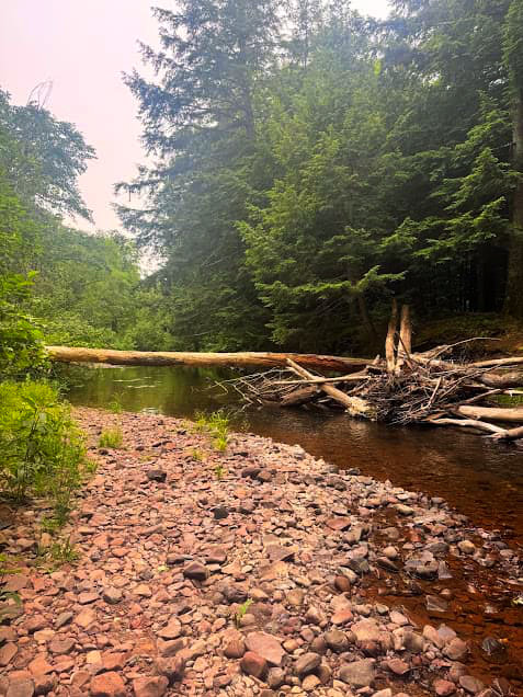
This is the first part of the trail that has water access to the Carp River. Here, the trail follows the river through vegetation-laden streambanks until you get to the crossing at mile 5.7. There is no bridge at this spot, and the water can be ripping after the snow melts in the early spring. In the summer, the river is shallow and rocky. If you go downstream just 25 yards or so, there is a solid log across the river that can be used to cross.
Shining Cloud Falls and Bathtub Falls Swimming Holes
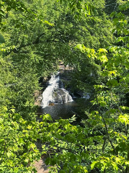
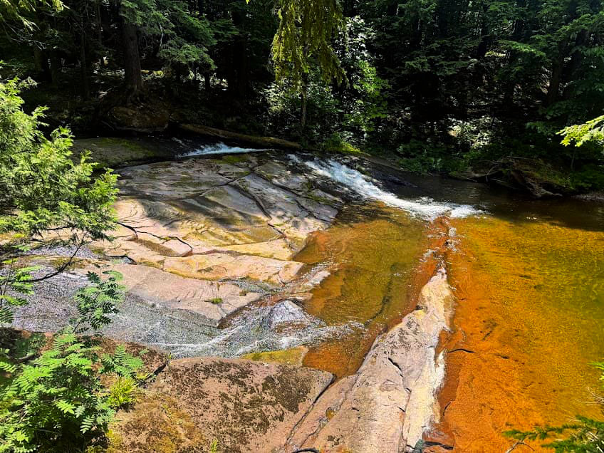
From the river crossing, the trail passes through older, beautiful forest up and away from the Carp River. At the 6.8-mile mark, the highlights of this hike begin as the trail once again draws near to the Carp River above Shining Cloud Falls. From here to the terminus of the trail at Lake Superior, there are ample swimming opportunities in the river as well as a few backcountry campsites (check out BC-7 and BC-8). Bathtub Falls, at mile 7.6, is another popular swimming hole.
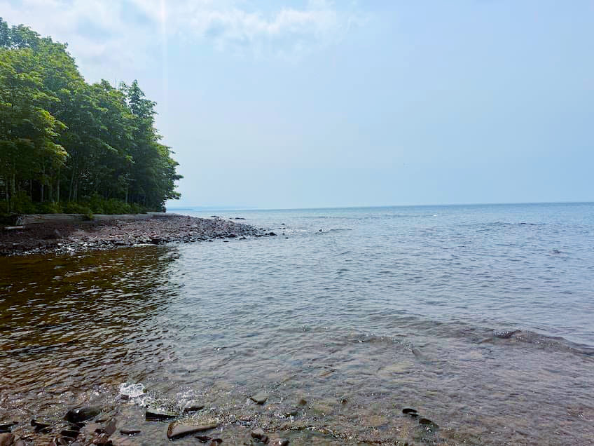
When the trail meets Lake Superior at mile 8.2, the mouth of the Carp River widens out into a rocky beach. The Big Carp 6 cabin sits on the river right side, and the Big Carp 4 and Lake Superior cabins sit on the river left side off the Cross Trail.
Wildlife and Plants Along the Big Carp River Trail
The Big Carp River trail is unique because it traverses through so many different habitat types as it follows the Carp River from Lake of the Clouds to Lake Superior. In the summer, keep an eye out for bluebead lily, hairy hawkweed, and thimbleberry on the sections of trail along the river.
The Carp River itself is home to aquatic species such as trout, frogs, and invertebrates. Pack in a fishing pole to cast at the mouth of the river where it meets Lake Superior.
In June, ruffed grouse are rearing chicks. Protective mother hens will run out at passing hikers if they get too close to their brood of chicks and feign injury. This display includes whining, acting as if they have a broken wing, and flopping around in the brush to distract any would-be predators from their young chicks. The precocial chicks can fly extremely early in life, making short flights at just 5-7 days old!
More Porcupine Mountains/Lake Superior Hikes
Grand Island, Michigan Backpacking Itinerary
Apostle Islands Sea Caves Hike
Black River Waterfalls Hike- North Country Trail