For an easy day hike or overnight backpacking trip, Goat Lake in the Goat Rocks Wilderness of southern Washington is a well-known option. The 2WD-accessible parking and reasonable proximity to both Seattle and Portland make it one of the more popular wilderness hikes in the area.
If you don’t mind dealing with crowds, a hike up to Goat Lake in the late summer is an incredible way to experience the PNW’s wildflower blooms, alpine environments, and volcano views with the added bonus of an alpine lake dip.
Quick Stats: Goat Lake via Goat Ridge Trail
Distance: 6 miles one-way; 12 miles round-trip
Difficulty: Moderate
Kid-friendly? Yes; it is short and interesting enough that kids should enjoy this trail. Probably too much uphill and too long for toddlers.
Pet-friendly? Yes, kept on a leash.
Highlights: Wildflower blooms in late July/early August, amazing views of Mt. Adams and Mt. Rainier
Permits: Recreation pass for parking (Digital Day Pass, Northwest Forest Pass, Interagency Recreation Pass) Click here to purchase a pass.
For the Goat Rocks Wilderness, sign in for a free permit at the trailhead (2026).
Things to Know: There will be snow in the higher country until mid-July. Bring insect repellent.
Berry Patch Trailhead for Goat Ridge Trail
The Berry Patch trailhead is easily accessible, with most of the route to get there on well-maintained gravel forest service roads when you come from Randle, WA. The Berry Patch Trail is off of FR 2150 near Chambers Lake.
Click here for directions to the Berry Patch Trailhead.
This trailhead is usually crowded in the summer, even during the week. If there is not enough room to park here, try parking just down the road at the Snowgrass Hikers Trailhead. The Berry Patch TH is within easy walking distance of the Snowgrass TH.
Camping Near the Berry Patch Trailhead
There is a small campground at Chambers Lake just down the road from the trailhead. There is one pit toilet and ~10 sites available here. No potable water other than what you filter from the lake is available.
Hiking the Goat Ridge Trail #95 to Goat Lake
From the Berry Patch TH, the trail rises on a steady uphill through a forested habitat of tall firs and willowy, mint-colored lichen.
Goat Ridge Lookout Trail Detour
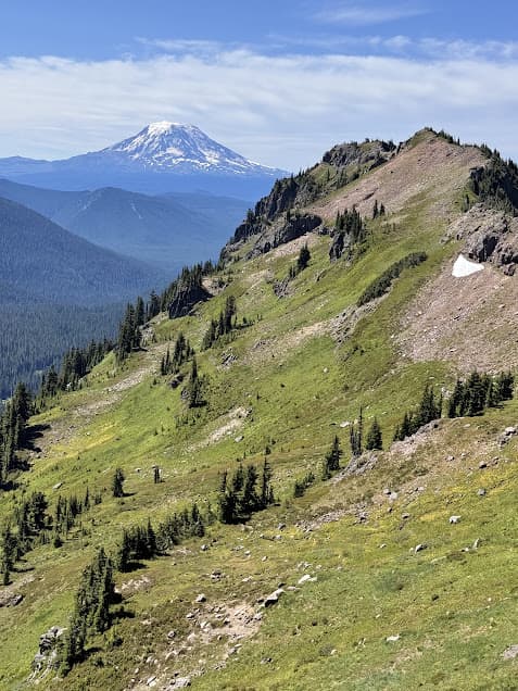
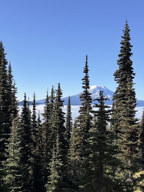
Around mile 1.5, keep an eye out for the Goat Ridge Lookout Trail to the left. This is a small detour that loops around to the site of an old fire tower that is no longer there. However, the views for the detour are completely worth it! Mt. Adams and Mt. Rainier are both visible from the high point on the lookout trail. The lookout trail is about 1.1 miles long but hooks back into the Goat Ridge trail #95.
Jordan Basin
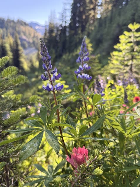
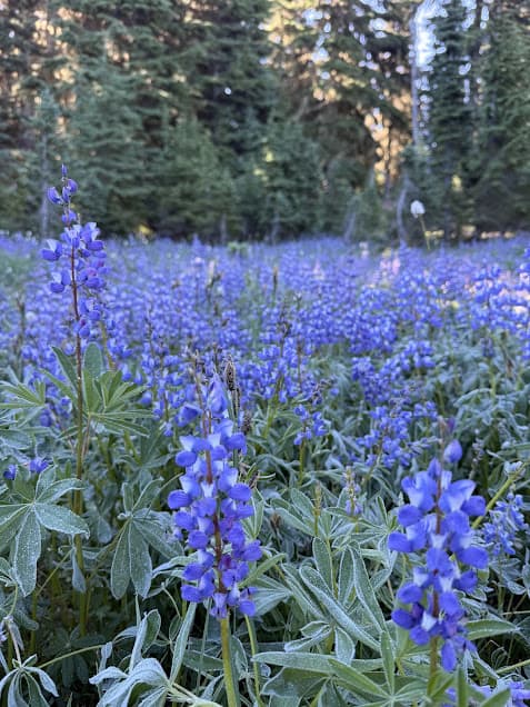
Shortly after the Goat Ridge lookout trail hooks back into the main Goat Ridge Trail, the trail crosses a small creek and the Jordan Creek Trail, which heads back toward the west. The trail here is still mostly forested, but opens up to colorful patches of lupine, bear grass and pink mountain heather.
As the trail moves up in elevation, it opens up to the Jordan Basin, a stunning subalpine valley loaded with Indian Paintbrush and Western pasqueflower. Those are the hairy white blooms that look straight out of a Dr. Seuss book. Jordan Creek Falls tumbles over rocks in this basin. The trail eventually reaches a flat spot with a stream that has several really nice campsites if you want to avoid the crowds up at Goat Lake.
Intersection with Lily Basin Trail #86
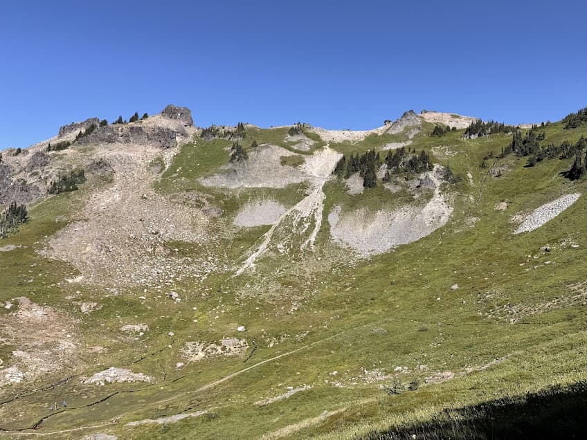
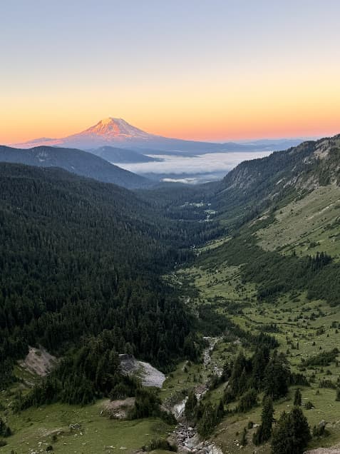
After the Jordan Basin, the trail switchbacks up through beargrass and up to a trail intersection with a sign. Take the right fork to continue on Lily Basin trail the rest of the way to Goat Lake. This part of the trail is stunning, tracing the side of a ridge overlooking a huge mountain valley with views of Mt. Adams to the south. There are a few small creek crossings here.
Dropping in to Goat Lake
As the trail draws near to Goat Lake, you’ll start seeing a few sporadic campsites. These all have great views of Mt. Adams. All campsites at Goat Lake are first-come, first-serve. Due to the very heavy human use at Goat Lake, please practice Leave No Trace to protect the sensitive alpine environment.
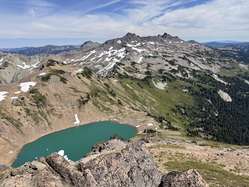
Goat Lake is a turquoise-colored alpine lake ringed by tall, barren rocky slopes. In late July, there was still ice on part of the lake in the form of sheet that floated around the lake and generally got smaller by the hour due to the intense high-elevation sun.
There are lots of rocks around the lake for relaxing and great swimming spots if you can stand the cold water. The snowmelt-filled lake runs off in the form of Goat Creek, which meanders among campsites until its sudden drop off down to the valley below. The creek provides reliable filter-able water for campers.
Hawkeye Point Overlook
A great detour from the main Goat Ridge Trail is up to Hawkeye Point, a 7400-foot point overlooking Goat Lake and the surrounding peaks. Getting to Hawkeye Point involves some travel over snowfields but the views are worth it. To get to Hawkeye Point, head back from Goat Lake to the trail intersection with Lily Basin Trail and take the right fork which heads north.
Camping at Goat Lake, Washington
Many hikers choose to spend the night at Goat Lake, either as an out-and-back or as part of a multi-night backpacking trip in the Goat Rocks. On weekend nights, there can be hundreds of people using the trail and almost that many spending the night near the lake.
Due to the fact that Goat Lake is in an alpine environment, cover is limited and overused. While the views are gorgeous camping near an alpine lake, you might have a better experience camping somewhere else in the vicinity. This could be down the trail at Jordan Basin or further on down the Lily Basin trail.
More PNW Hiking
Boy Scout Tree Trail – California Redwoods