
In the northwest corner of Maine, a group of lakes perches in the mountains where the state gives way to New Hampshire and Quebec. On the spit of land that divides Rangeley Lake from Mooselookmeguntic Lake, the 2,461-foot Bald Mountain is the perfect lookout point for 360-degree views of the freshwater, sky and pines that give this slice of Maine so much beauty.
As if 2,461 feet of elevation weren’t enough, a lookout tower sits at the top of the climb to give visitors a view unobscured by the trees.
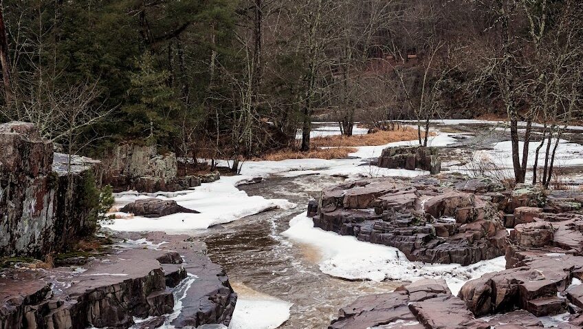
Bald Mountain Trailhead in Oquossoc, Maine
The primary Bald Mountain Trail starts at a small parking lot (44.95186, -70.79163) off Bald Mountain Road outside of Oquossoc. The first mile of the trail is a gradual uphill through a hardwood forest of sugar maple, ferns and poplar. Smooth rocks line the trail here, which can turn muddy after a rain.
The Worst Hiker in the World
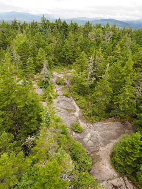
Once you hit the mile mark, the hiking gets fun! That is, if fun means hoisting yourself up and over formidable rocks to navigate the way to the top. My four-year-old niece, defiant in her shiny purple jacket and Velcro shoes, did not appreciate my warnings to “Slow down! Be careful!”. She turned around with her empty pretzel bag in hand, stuck her tongue out and declared me to be the “WORST hiker in the WORLD”. She will probably be President someday.
Anyway, if the Worst Hiker in the World can navigate over the rocky section toward the peak, so can you.
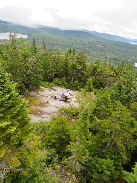
The Peak of Bald Mountain and the Lookout Tower
The top of Bald Mountain is well worth the 1.8-mile hike, despite getting bullied by children along the way. The mixed conifer woods opens up to smooth gray stones, grass and shrubs with picnic tables for summit snacks.
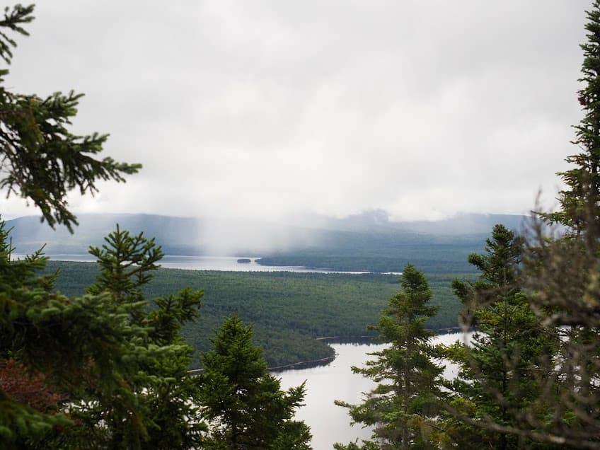
The forest and rocks at the top of Bald Mountain are beautiful. Here, pale green lichens trail from bare branches. While you can see the surrounding mountains from the side of Bald Mountain itself, climbing the thirty-foot lookout tower is a must.
From the tower, you can see Rangeley Lake to the east. To the west is Mooselookmeguntic Lake (named for the Abenaki phrase for “moose feeding area”). Green, blue, silver.
Finally, the Bald Mountain hike is an out-and-back. For the descent, navigating down over the slick rocks might be more treacherous than going up-and-over. My niece accepted the offer from the Worst Hiker in the World to hold hands for the trickier sections on the way down.
Pingback: Wisconsin's North Country Trail: Copper Falls State Park - the lupine
Pingback: Hiking the Garden of the Gods in Southern Illinois - the lupine
Pingback: 4 Beautiful Hikes in Rangeley, Maine - the lupine